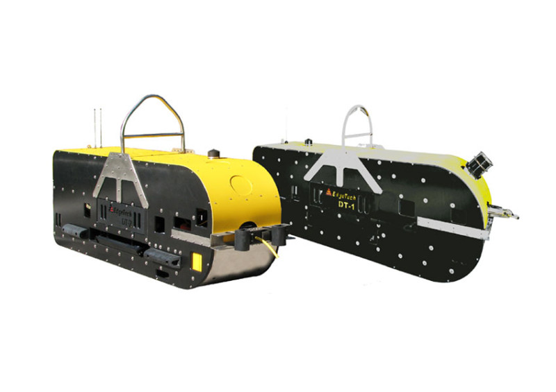
The Ultimate 6,000m Solution for Fully Integrated Deep-Ocean Mapping
Product Overview
The EdgeTech 2400 Series is a fully integrated, turnkey deep-tow system designed for high-resolution mapping of the seafloor and sub-surface stratigraphy in extreme depths. Engineered for operations down to 6,000 meters, the 2400 Series represents EdgeTech’s most capable combined platform, bringing together Dual Simultaneous Side Scan Sonar, Wideband Sub-Bottom Profiling, and optional Wide Swath Bathymetry into a single, modular tow vehicle.
Utilizing a "slab-construction" frame made of specialized high-density plastic and stainless steel, the DT-2 towfish is virtually maintenance-free and highly resistant to the rigors of deep-ocean mobilization. By employing Full Spectrum® CHIRP processing across all acoustic sensors, the system delivers unmatched signal-to-noise ratios, allowing for wider swaths and deeper penetration than conventional deep-water systems.
Why Choose the EdgeTech 2400 Deep Towed?
See attachment.
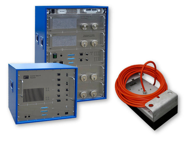
Unmatched Resolution & Penetration for Deep Sea ExplorationProduct Overview:The Innomar deep-15...
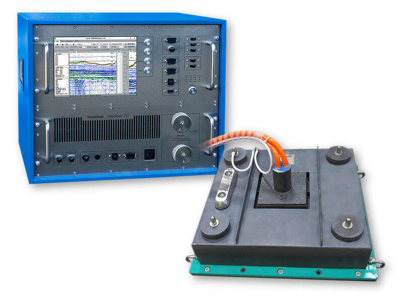
Extended Penetration & Resolution for Depths up to 2,500 MetersProduct Overview The Innomar medi...
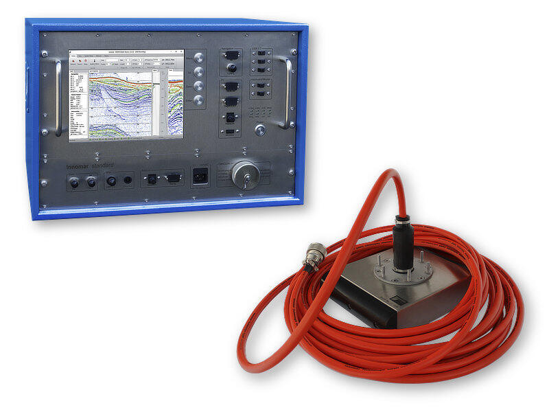
The Most Versatile Solution for Inshore and Offshore SurveysProduct OverviewThe Innomar standard is...
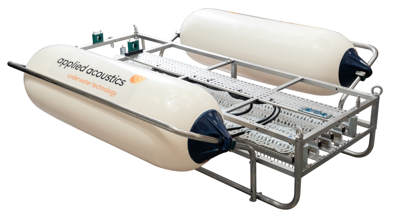
Precision Lightweight Sparker for Coastal and Estuarine Geophysical SurveysProduct Overview The...
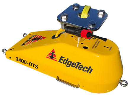
High-Resolution CHIRP Stratigraphy for Shallow and Deep Water SurveysProduct Overview The EdgeT...
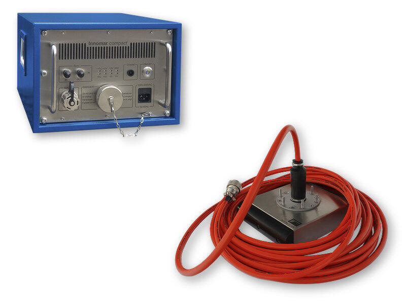
High-Resolution Sub-Seabed Imaging for Small Boats & Inshore SurveysProduct OverviewThe Innomar...
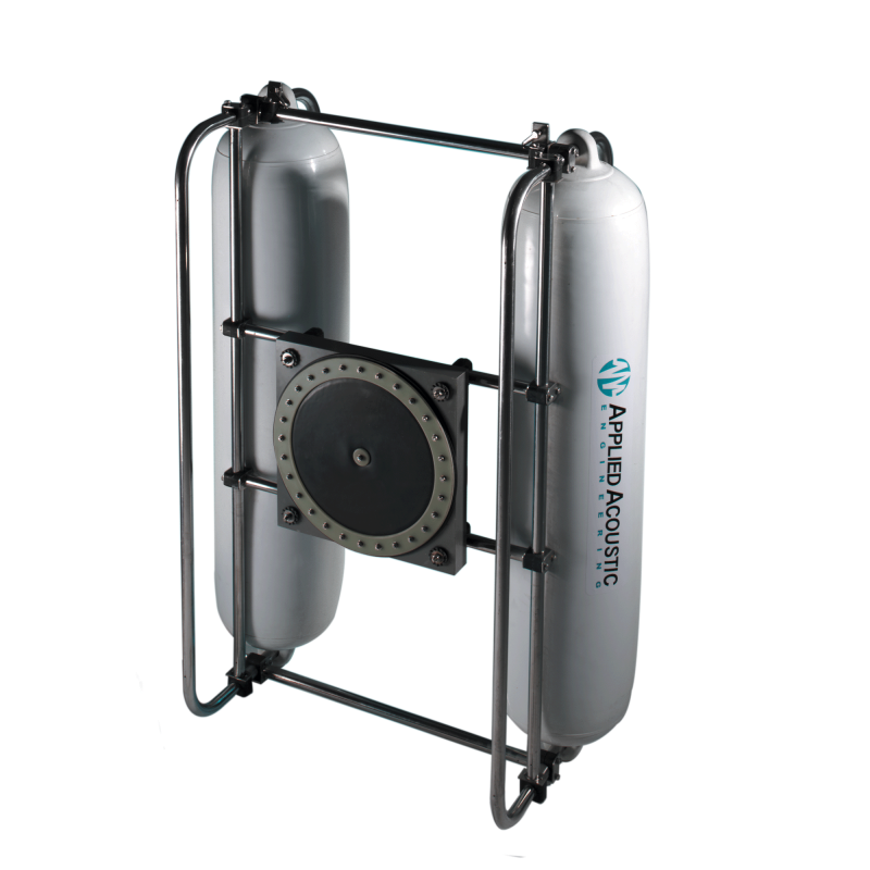
The Industry Standard for High-Resolution Sub-Bottom ProfilingProduct Overview The Applied Acoustic...
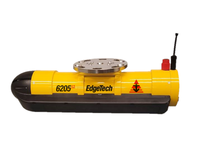
The 4th Generation Hybrid MPES Technology for High-Resolution Shallow Water SurveyingProduct Overvie...
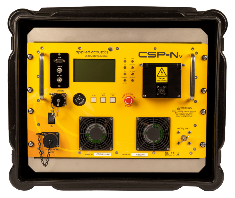
The Industry "Workhorse" for High-Resolution Seismic SurveysProduct Overview The Applied Acoustic En...
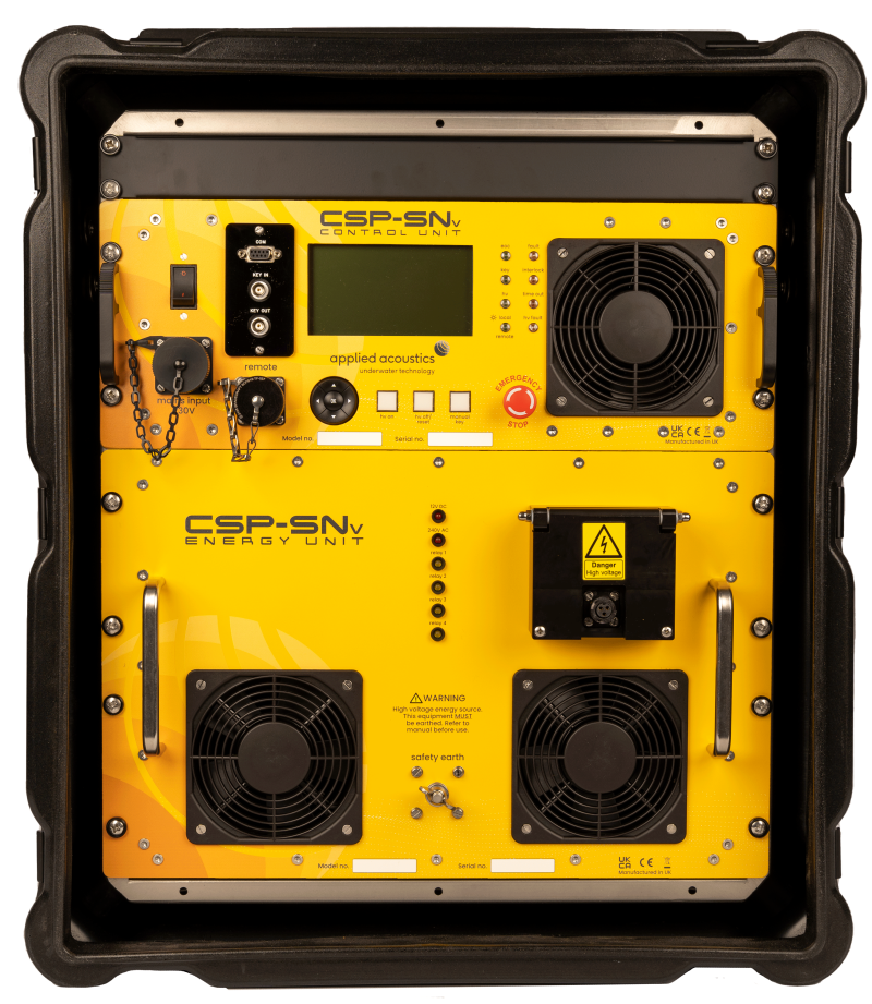
High-Speed Seismic Energy Source for Ultra-High Resolution (UHR) SurveysProduct Overview The Applied...
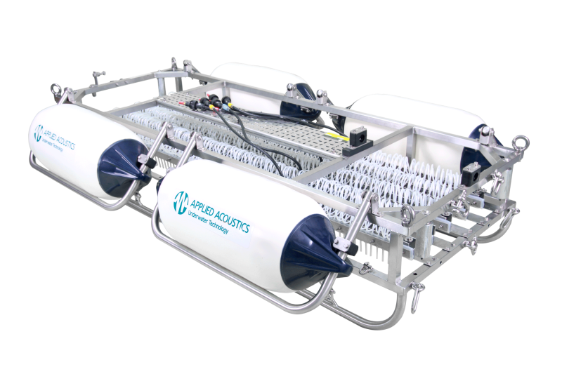
The Industry Workhorse for High-Resolution Sub-Bottom Geophysical SurveysProduct Overview The A...
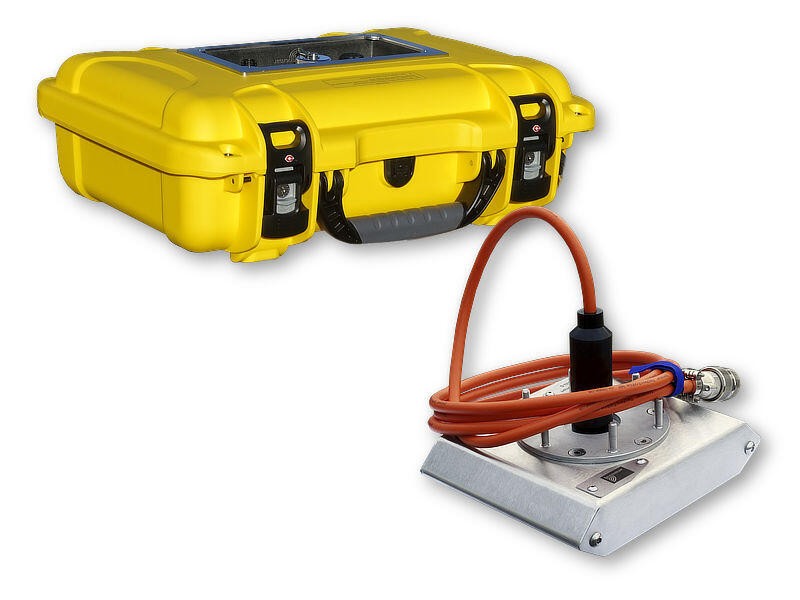
The Ultimate All-in-One Solution for Small-Boat & Coastal SurveysProduct OverviewThe Innomar sma...
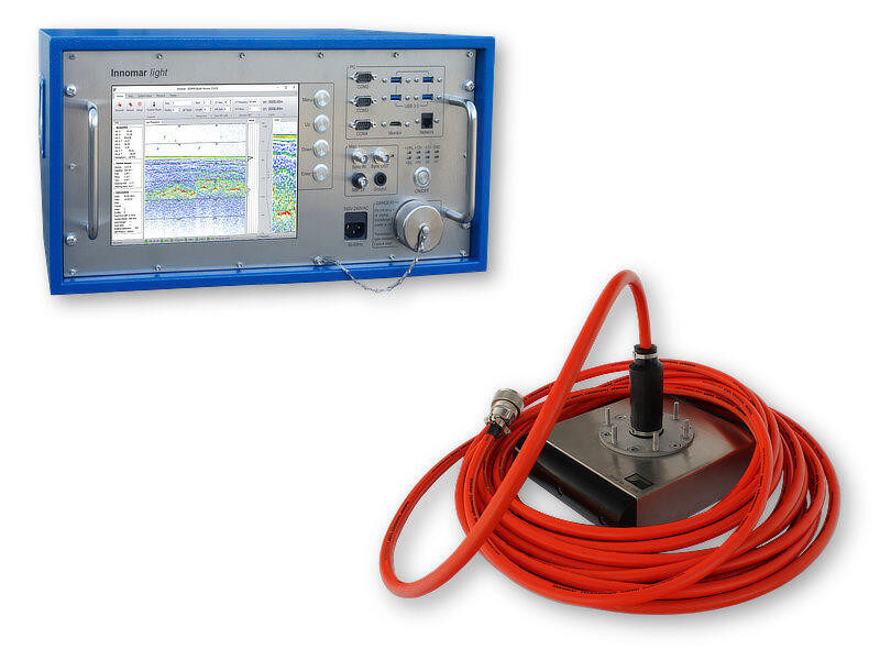
The Industry Standard for High-Resolution Inshore SurveysProduct OverviewThe Innomar light is a comp...
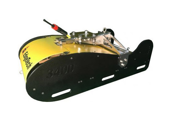
High-Resolution Wideband CHIRP Imaging for Strategic Sub-bottom StratigraphyProduct Overview Th...
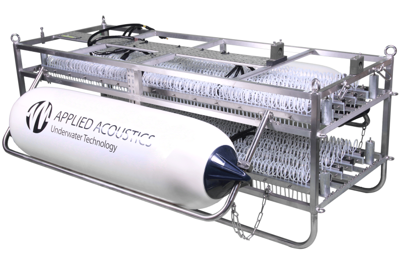
The Ultimate Dual-Deck Sparker for Complex Geophysical and UHR SurveysProduct Overview The Applied A...
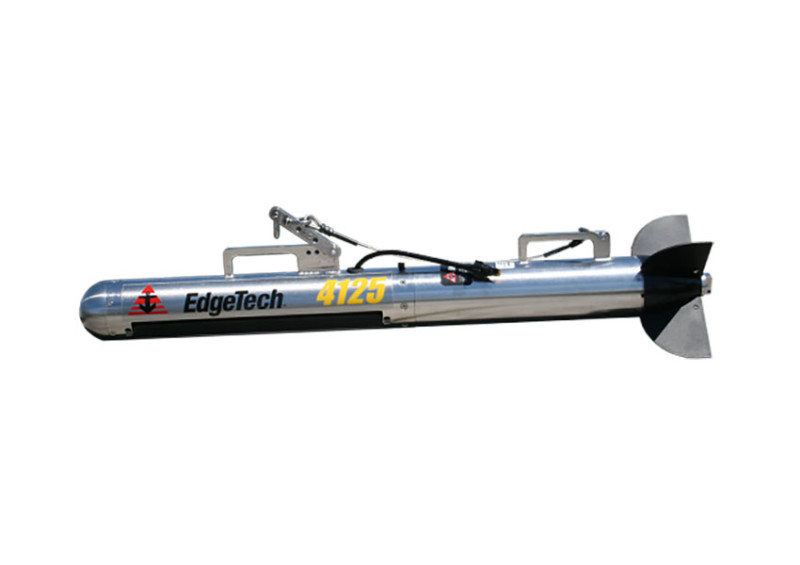
The Industry Standard for Rapid-Response Search & Recovery and Shallow Water SurveysProduct Over...
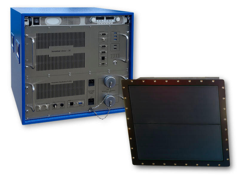
High-Resolution Acoustic Imaging Down to 6,000 MetersProduct OverviewThe Innomar deep-36 is the prem...
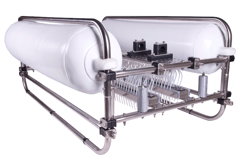
The Agile Solution for High-Resolution Coastal and Shallow-Water SurveysProduct OverviewThe Applied...
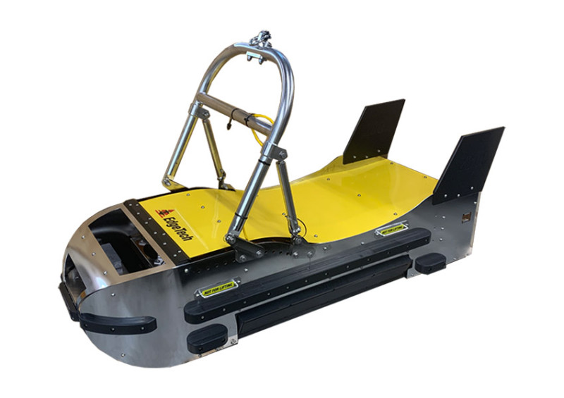
Fully Integrated Side Scan, Sub-Bottom, and MPES Bathymetry for Deep WaterProduct OverviewThe EdgeTe...
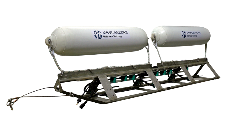
The Delta Sparker stands as the most potent sparker within the applied acoustics lineup, designed sp...
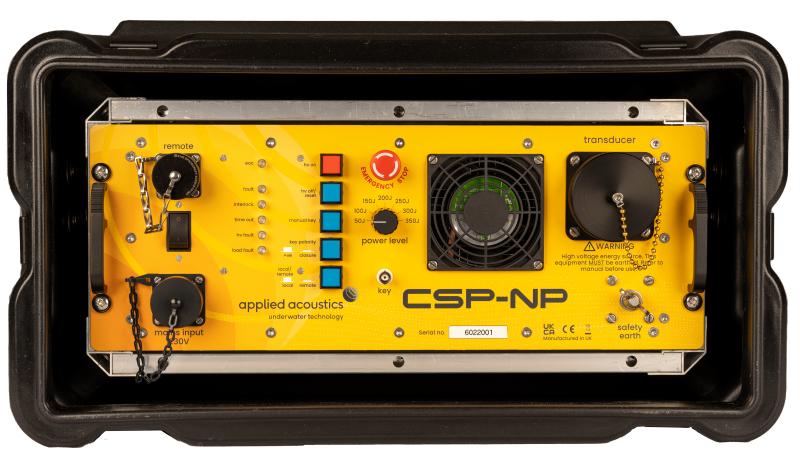
The Compact & Lightweight Solution for Shallow-Water Coastal SurveysProduct OverviewThe Applied...
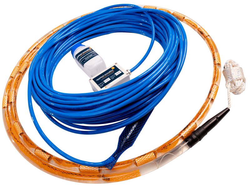
Precision Acoustic Receivers for High-Resolution Seismic ImagingProduct Overview Applied Acoust...
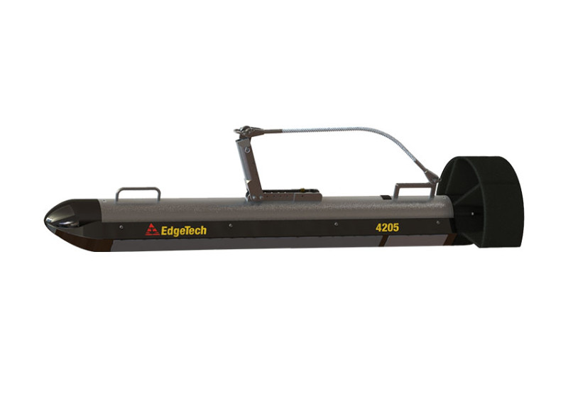
The Next-Generation Standard for Versatile Offshore Survey OperationsProduct Overview The EdgeT...
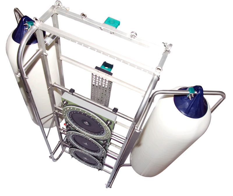
The Ultimate High-Resolution Alternative to Sparker SystemsProduct Overview The AAE S-Boom is a...
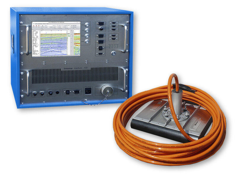
Precision Offshore Imaging for Depths up to 2,000 MetersProduct OverviewThe Innomar medium-100 is a...
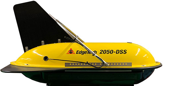
The Ultimate High-Resolution Integrated Survey Solution for Depths up to 3,000 MetersProduct Overvie...